Nonlinear transformations
What are they?
Nonlinear transformations take many forms. Some are simply "projections" like perspective or orthographic, which are linear in some dimension (representable by a matrix). Then you have things like log-scale axes, geographic projections, and esoteric physics stuff (like the space near a black hole).
When dealing with nonlinear transformations, it's useful to define our terminology. Spaces are coordinate spaces, and we consider two relevant ones:
Data space is the space before transformation, also called the input space.
Transformed space is the space after transformation is applied. This can be transformed directly to pixel space by an affine, linear transform.
I can categorize all nonlinear transforms into three types:
Affine
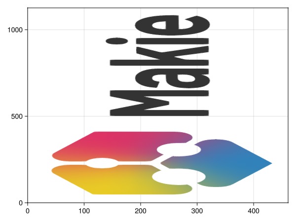
Any affine transform is not actually nonlinear, but a simple combination of translation, scale and rotation. They are explained quite well in this StackOverflow question.
We don't really consider affine transforms nonlinear here, since they are more or less linear. But these are the transformations which you generate when you call translate!, rotate!, or scale!. In these transformations, a straight line is still straight.
meshimage(Makie.logo())
Nonlinear but separable
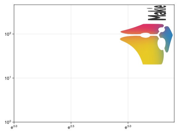
Here, I mean separable in the sense that systems of ODEs can be separable. Specifically, nonlinear and separable transforms have the property that each coordinate is independent of all others. This means that the x-coordinate in transformed space depends only on the x-coordinate in input space, and so on and so forth for the y and z coordinates.
meshimage(
    1..size(Makie.logo(), 2), 1..size(Makie.logo(), 1),
    Makie.logo();
    axis = (; xscale = log, yscale = log10)
)
Nonlinear and inseparable
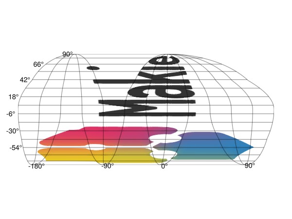
Geographic projections are prime examples of this. The x-coordinate in transformed space depends on the input x and y coordinates, as does the the y-coordinate in transformed space.
meshimage(
    -180..180,
    -90..90,
    Makie.logo();
    axis = (; type = GeoAxis, dest = "+proj=igh")
)
Examples
Geographic plots
The space near a black hole
Special situations
Input v/s transformed bounding boxes
The bounding box in transformed space directly maps to that in pixel space, and so must be a rectangle by virtue of its nature.
However, in input space, this is not necessarily the case. Consider the following GeoAxis:
# TODO: is failing now
fig = Figure()
ga = GeoAxis(fig[1, 1]; dest = "+proj=ortho +lon_0=19 +lat_0=50")
lines!(ga, GeoMakie.coastlines())
fig
If we look at the grid of lon/lat values which are valid in transformed space,
lons = LinRange(-180, 180, 500)
lats = LinRange(-90, 90, 500)

valid_points = [isfinite(Makie.apply_transform(ga.transform_func[], Point2f(lon, lat))) for lon in lons, lat in lats]

f, a, p = heatmap(
    lons, lats, valid_points;
    axis = (; aspect = DataAspect(), xlabel = "Longitudes", ylabel = "Latitudes")
)
Legend(f[2, 1], [PolyElement(color = first(to_colormap(p.colormap[]))), PolyElement(color = last(to_colormap(p.colormap[])))], ["Invalid (invisible)", "Valid (visible)"], tellheight = true, tellwidth = false)
f
You can see that if we were to try to find a bounding box, it would either be too small (excluding the bulge at the middle) or too large (including some invalid regions).
Coordinate singularities
This ties in a bit with the previous section. In that particular projection, the pole was shown as a single point.
This is a singularity in the inverse transform, since it becomes many-to-one on that line in input space.