Appearance
This page is a gallery of various examples.
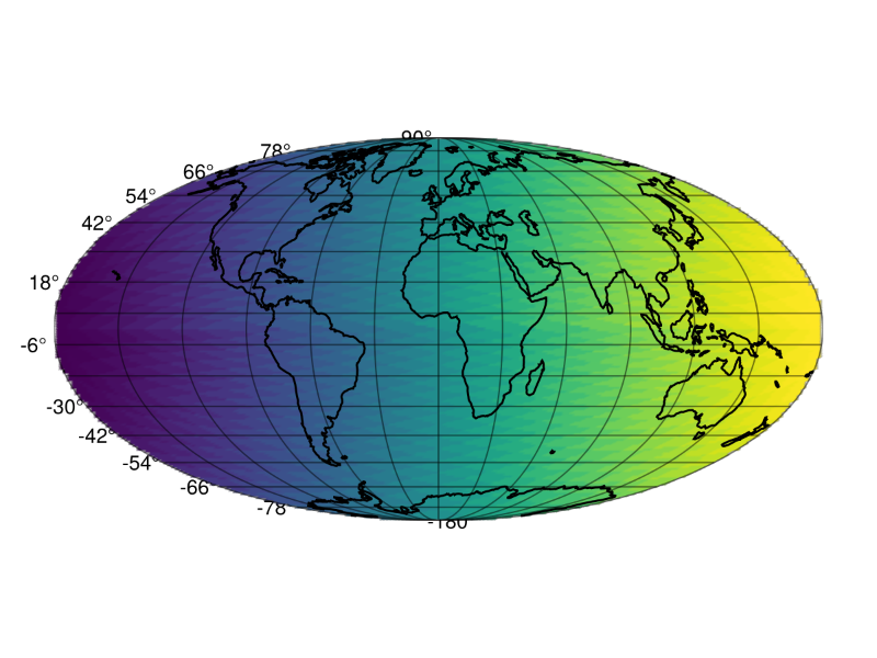
Basic examples of GeoMakie
Plotting geometries from a DataFrame
Raster and vector data together on a plot
Animating a rotating Earth
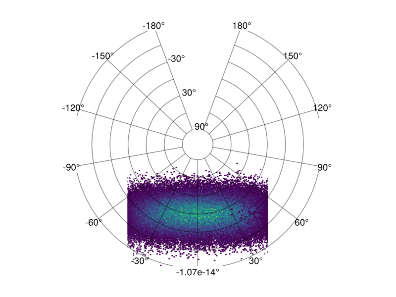
Plotting histograms of points on a GeoAxis
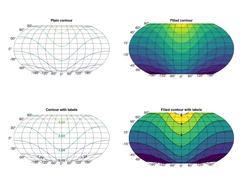
Contour plots with fills and labels
Plotting raster (gridded) data on GeoAxis
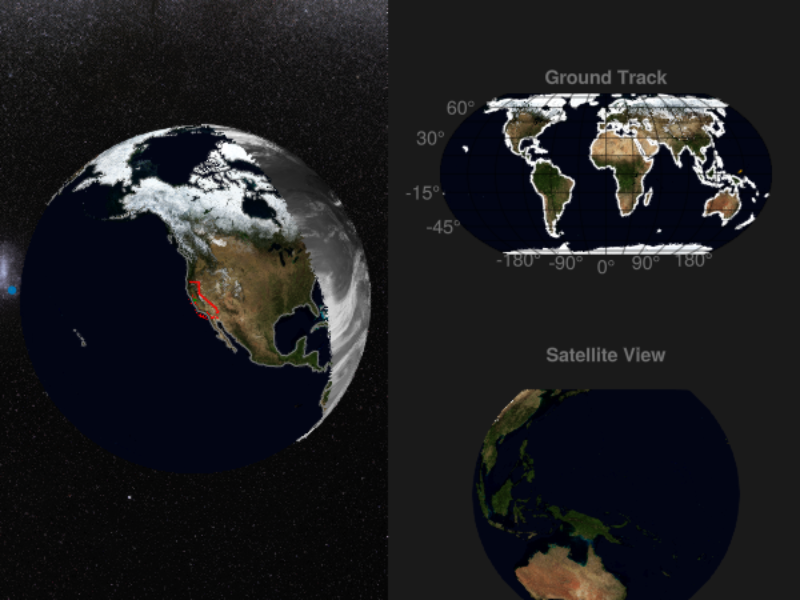
Plot satellite data acquisition on the globe
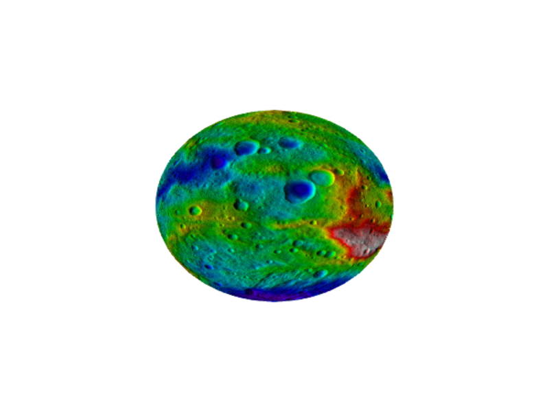
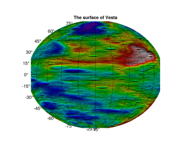
A plot of Vesta's surface, on a nonstandard ellipsoid.
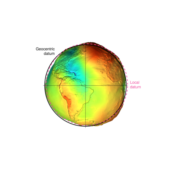
Geoid surface with geocentric and local datum silhouettes
Messing around with the GeoAxis
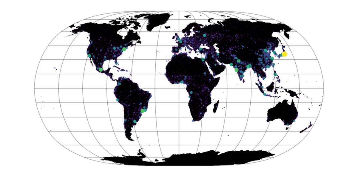
Scatter plot of population per city
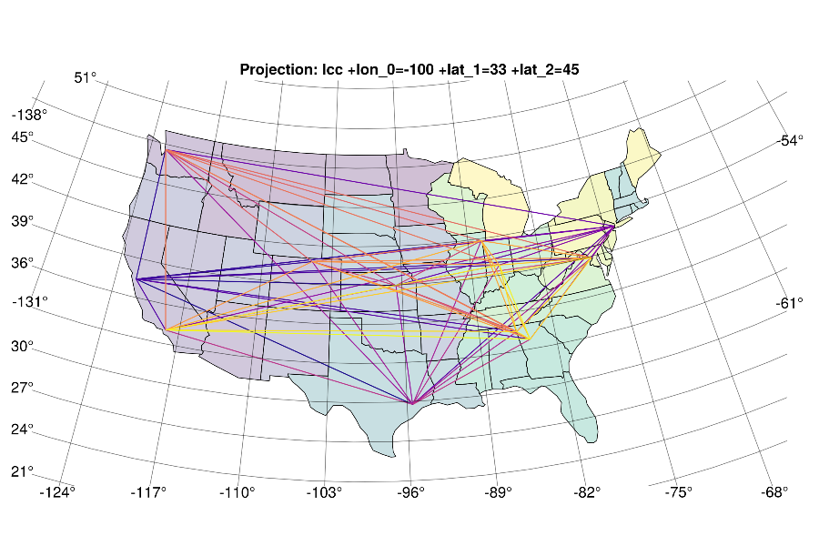
A graph on the USA with GraphMakie
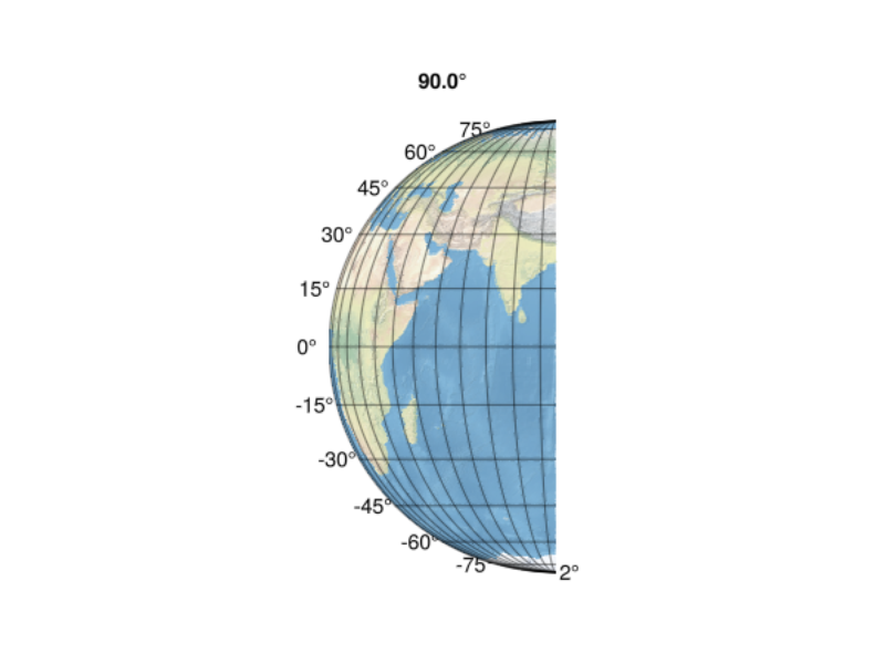
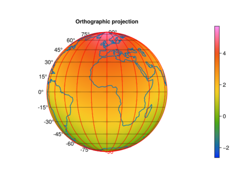
Plotting on the orthographic (irregular) projection
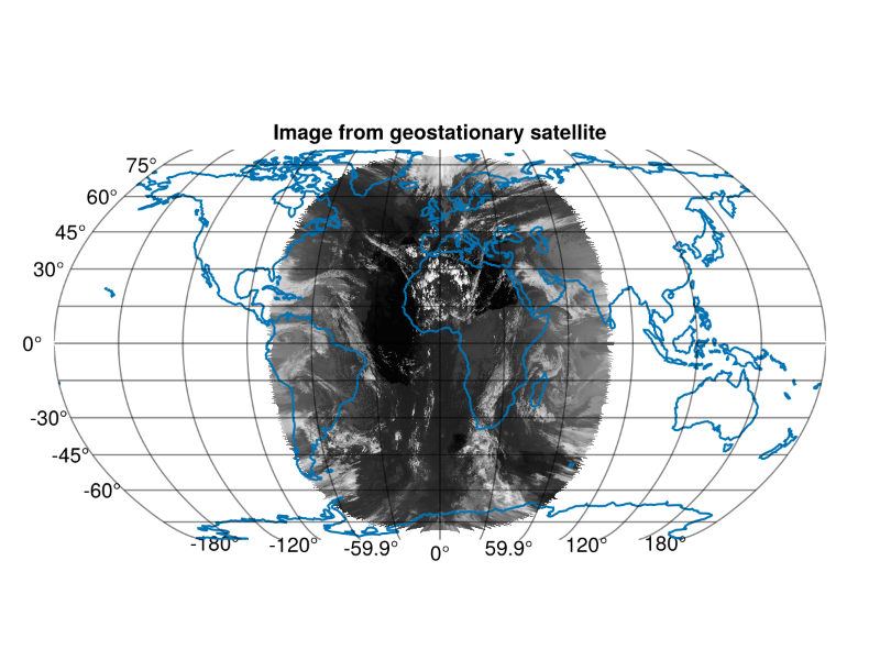
Plotting an image directly from the satellite
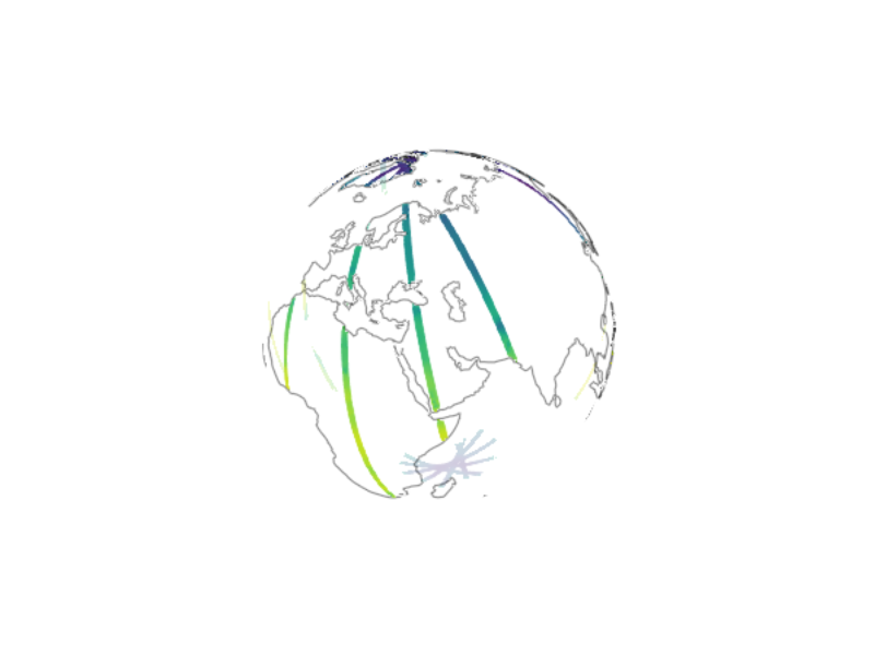
A great circle flight from JFK to SIN
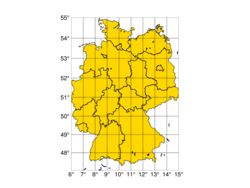
A map of lakes and states in Germany
The meshimage recipe
Visualizing distortions caused by projections
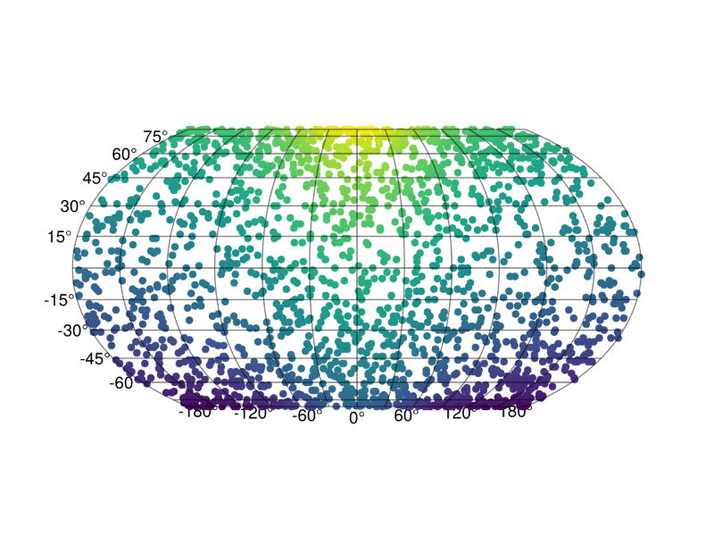
Spherical pixelizations from Healpix.jl
GeoMakie logo cropped by a polygon
An annotated plot with license info.
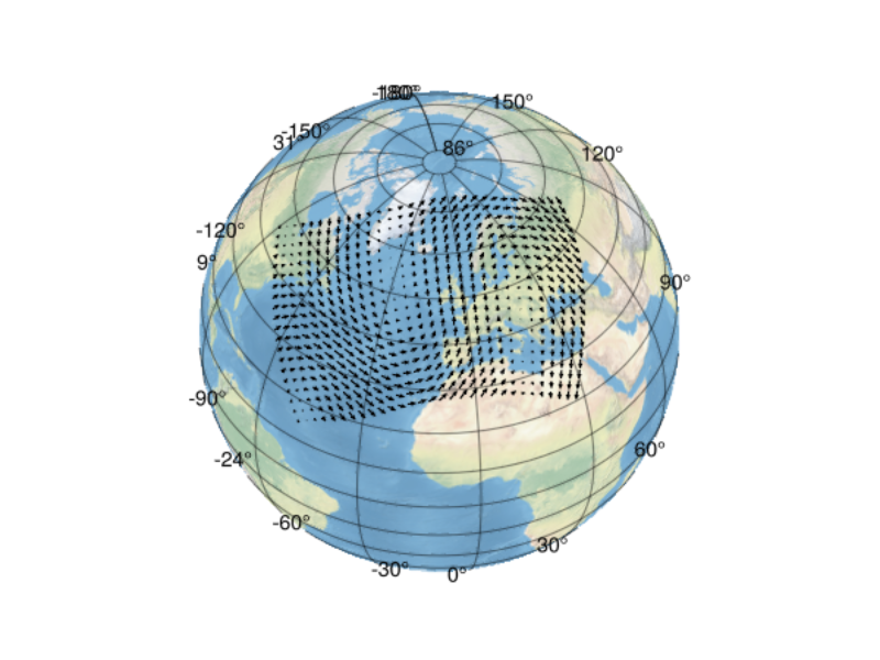
Gridded arrows
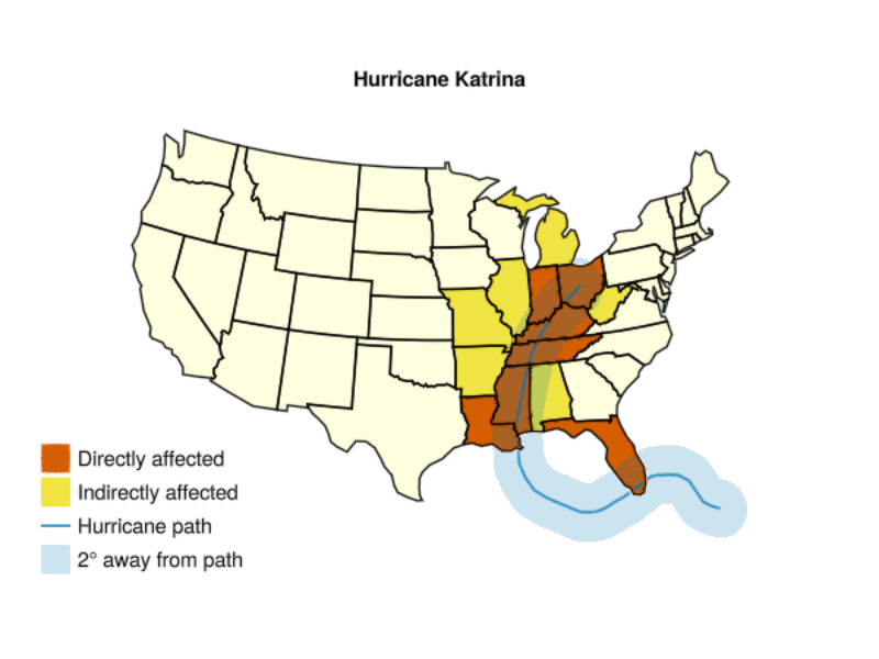
The effect of Hurricane Katrina, via GeometryOps.jl.
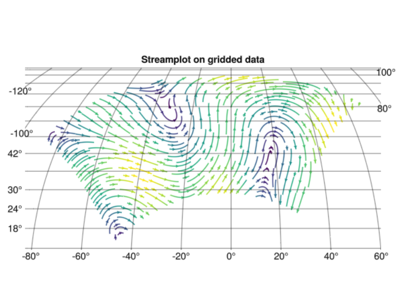
A streamplot on gridded data.
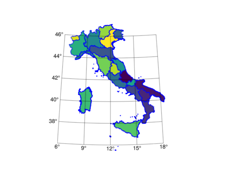
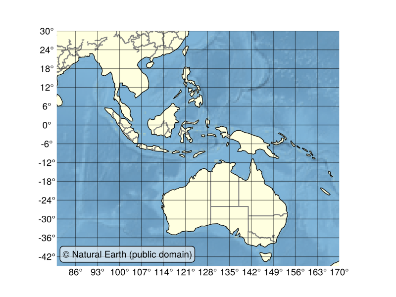
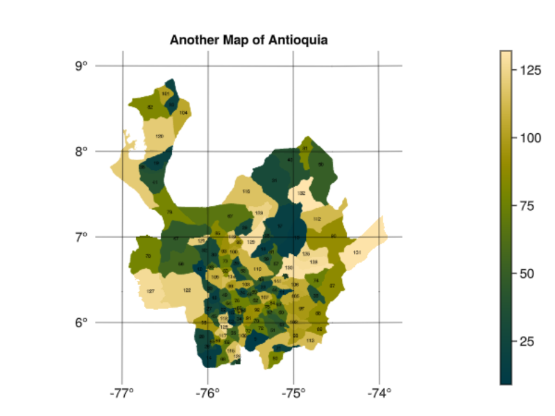
A map of Antioquia